Tempest Tours News

Answer: We get close enough to take good pictures.
Severe weather safety expert Martin Lisius offers his insight gathered from more than 30 years of storm chasing.
18 years ago, I founded Tempest Tours Storm Chasing Expeditions with friends William Reid and Dr. Charles Doswell. It came about due to requests from folks wanting to go storm chasing with us as individuals.
On August 21, a total solar eclipse will span across the breadth of the contiguous US from Oregon to South Carolina. Dubbed “The Great American Eclipse,” it is the first total solar eclipse in the continental US in 38 years, and the first to track coast to coast since 1918, nearly 100 years ago, making it a once in a lifetime event.
Storm chasing is, in relative terms, a new kind of tourism. Television shows like In Search Of… (1978) and movies like Twister (1996) introduced professional storm chasing to the wider public, and over the last twenty years or so, a number of tour companies have sprung up offering people the chance to join in with the chase.
The Adventure took us over 3500 miles in 7 days, and through eight different states including Colorado, New Mexico, Nebraska, Missouri, Iowa, Kansas, Oklahoma, and Texas. During this trip we saw SOFTBALL sized hail, 4 - 5 tornados, an amazing cumulonimbus cloud mushrooming right in front of us, and incredible thunder and lightning storms.
Today, we met a new batch of guests for Tour 9 out of Denver. This was my first tour with just 5 guests, so I was looking forward to it.
Here are some quick-pics of the tornadoes observed near Shenandoah and Yorktown, Iowa, today…and the beefy meso between Hopkins, Missouri, and Bedford, Iowa…and the near sunset tornado south of Maryville, Missouri. Dallas Raines is holding 4-inch hailstones SSW of Bedford, Iowa.
As our guests know, we stop at local Tornado Alley eateries as time allows. Headline regional fare includes Tex-Mex, barbecue, big farmer breakfasts and, of course, chicken fried steak (CFS), sometimes referred to as the “National Dish of Texas.” Our president and native Texan Martin Lisius is sharing his tasty chicken fried steak recipe for our guests to enjoy at home.
We awoke in north-central Kansas, inside of SPC’s narrow slight risk area which stretched from Amarillo to International Falls. Tornado prospects again appeared bleak, due to Tropical Storm Cindy in the gulf. We need high-quality low-level moisture for a shot at tornadoes!
I don’t know if the circulation at the surface was violent enough to qualify, but tornadoes aren’t always going to fit neatly into our definitions. The images below were taken on the south edge of Liebenthal, and the town’s church is to my north-northeast. The water tower was to my northwest.
Not much was happening as the clock ticked past 5 and 6 p.m., and it was looking like a cap bust might be in the cards. A perusal of the moisture convergence charts drew my attention towards the Wichita area. Though the Emporia area still appeared to be a reasonable place to wait and hope, I rolled the dice and headed down the turnpike towards Wichita.
Today was Monday, June 12, and it was a rare “off day” for me and Tempest Tours. Tour 5 had finished up the day prior, and Tour 6 would begin at 10 a.m. on Tuesday here in Denver. Well, it was not a total off day for me, as I was busy getting the vans ready for the next tour.
After we decided that the better storms would be a bit further south, we returned to the town of Harvey and headed south on Hwy 3. We found a spot to watch the developing storm, and it began splitting.
Bill was wanting to drive up to Rapid City, SD, where models were wanting to initiate thunderstorms. Along the way, we stopped in Edgemont, SD for a pit/fuel stop, and we noticed a cell a few miles away. Bill liked the look of this storm, and it was isolated from the activity near Rapid City. We decided to hedge our bets with this cell, and we definitely were not disappointed!
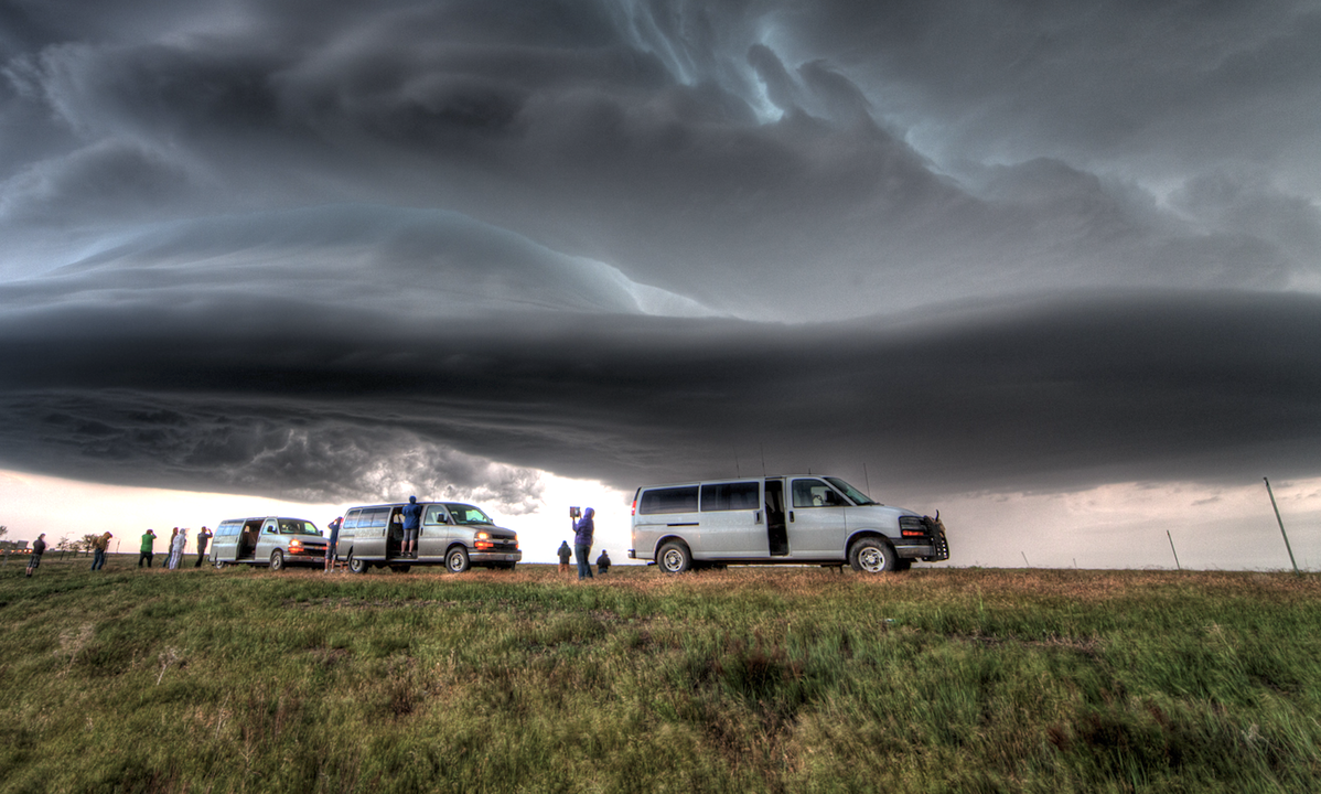
We decided to head east to investigate a cell that was looking healthy. It exhibited signs of rotation, and the radar indicated some strong rotation within the storm. As we pulled off the road to watch it, a friendly dog came up and tried to get in the vans.
Now that spring is well underway, I've observed an increasing tendency for many chasers to be focused totally on tornadoes. In a way, I can understand this obsession, as I've had a mild form of it all my life.
I made my way to OKC on Tuesday, May 2, and with Bob C. and Bill S., rounded up five guests from Tour 1 and Tour 2 for a chase into northwestern OK. We left OKC really late, at 5 p.m., but that was not too much of a problem as the upper-level support was late and nothing had developed yet. I was hoping that the models which showed early evening development into extreme western OK would come to fruition.
Just before we stopped to view the base, a tornado warning was issued for the cell. Given that radar showed the circulation to be right over the road, and the radar image was a couple minutes old, I figured any tornado would be north and buried in the rain that we could see to the north.


